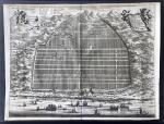


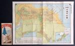


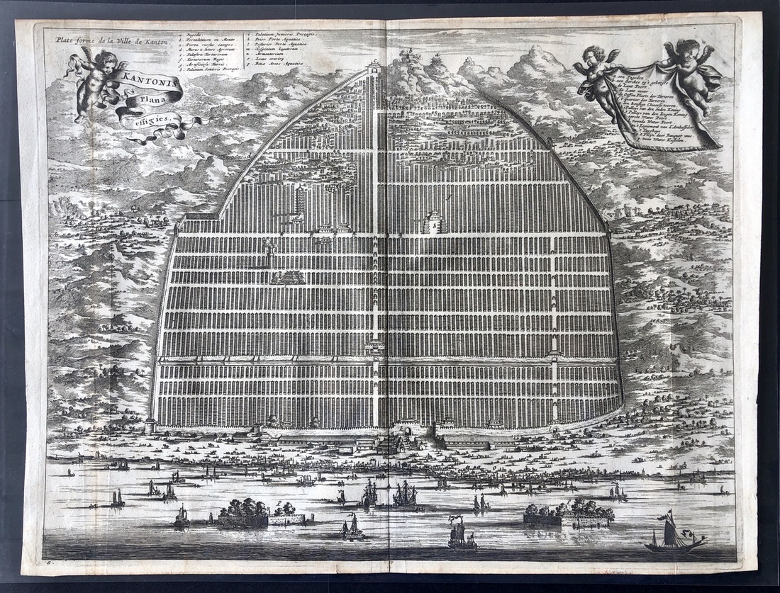
约1750年最早的广州地图,尺寸为39x29cm,雕版印刷,法语图列。广州被描绘为一座繁荣的都市,城墙内的建筑物均井井有条地排列成数多个长方形,远方可见建于山上的塔及要塞,近景的海岸边有数多艘帆船于商业港口停泊,海上交通也非常繁忙。这为当时西方,特别是法国,对中国的看法及印象提供了有趣的见解。MapChinaca. 1750, a very early map of Canton, measures 39x29cm, wood block printing, map legend in French, an interesting rendition of Canton as a prosperous city with its structures built in organised rectangular blocks within its walls. At the foreground appears to be heavy maritime traffic, and numerous vessels are docked at commercial ports. This offers an interesting insight on the Western perception and impression of China, especially that of France at the time.