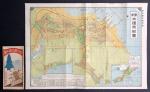
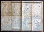


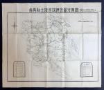
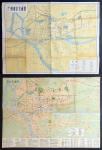
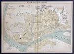


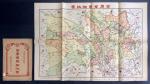
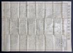

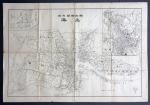
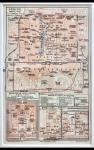


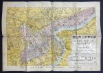


1938年大连市街道彩色图以及关东州略图,尺寸为39x54cm,説明各种交通及旅游资讯,当中包括俄战争时顺会战的仔细地图,带原封套。MapChina1938, colour map of Dalian and the Kwantung region, measures 39x54cm, contains information on transportation and travel, including a detailed map about the Siege of Port Arthur during the Russo-Japanese War in 1904-1905. The map comes with the original envelope.